DOW-UAP-D35, Mission Report, Greece, October 2023
Evidence media
- Open Sky release-file copy of the official D35 PDF — verified as a 1,415,369-byte, seven-page PDF with SHA-256
b4f4f4ce6dc7687a543905990671f999cd6c5a9e579159bfda501bf6d04f4445. - Paired Release 01 video record: PR35 / DVIDS 1006082 — verified as a 2,406,930-byte MP4 with SHA-256
670077e60bca959cde784ae1595688d645397804d811a7f5a85912c60045d471. The release description ties the video to the D35 mission report, but detailed frame/timestamp review remains a separate check.
Derived page renders from the official PDF are included below for source-document orientation. They are page renders from the PDF, not standalone object imagery.
 Page 1 places the
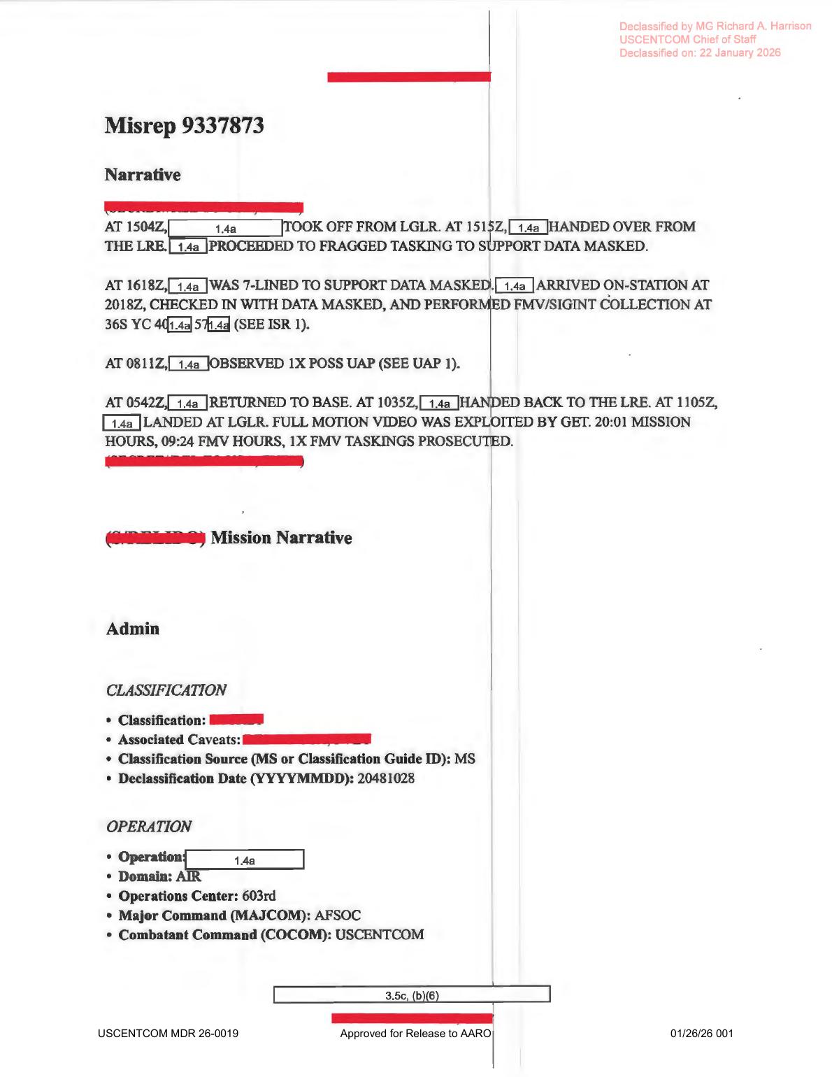
 0811Z possible-UAP line inside the broader mission narrative, including takeoff from LGLR, FMV/SIGINT collection, return-to-base, landing, and mission-hour fields.
 Page 5 shows the ISR support block with
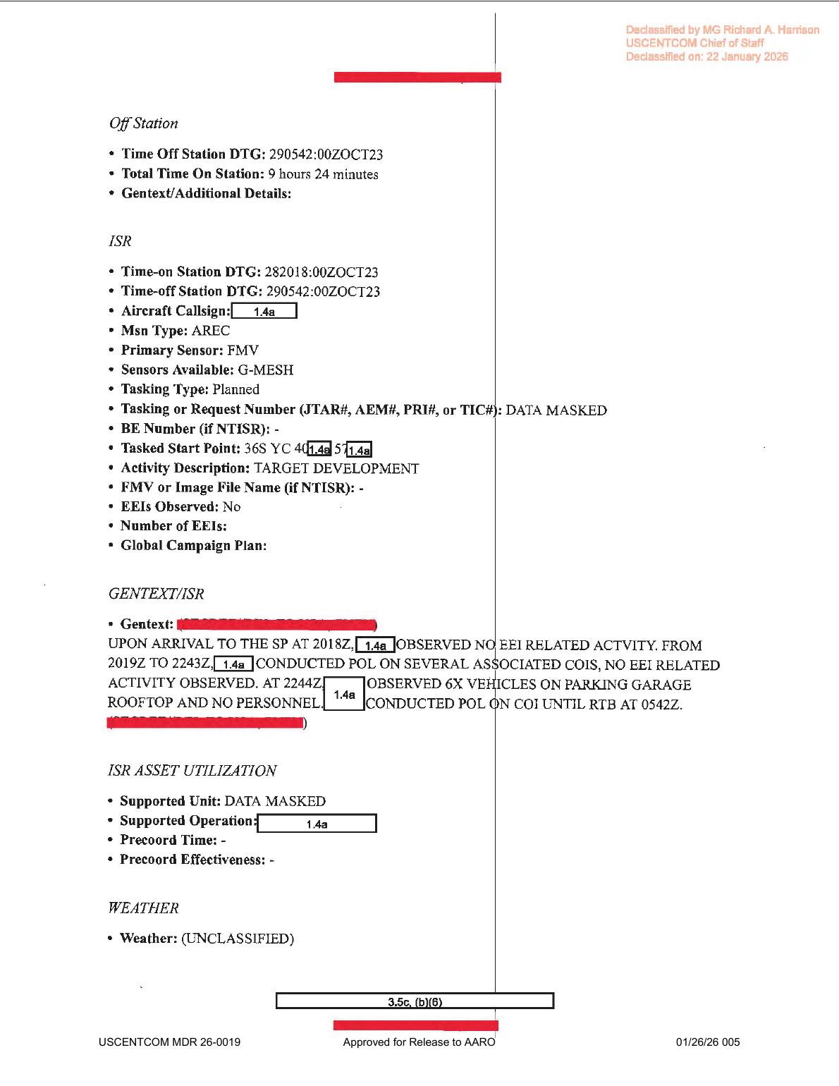
 G-MESH, target-development activity, clear-weather wording, and the source-visible 2019Z to 2243Z / 6X VEHICLES entries that correct rough OCR variants.
 Page 6 starts the UAP form and carries the source entries for initial contact
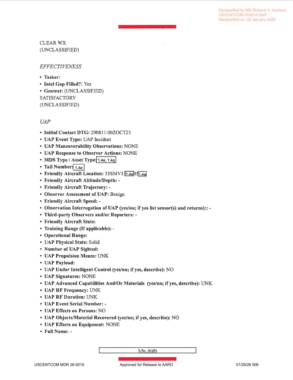
 290811:00ZOCT23, Benign, NONE maneuverability, Solid, NO intelligent control, NONE signatures, and UNK RF frequency.
 Page 7 contains the partial
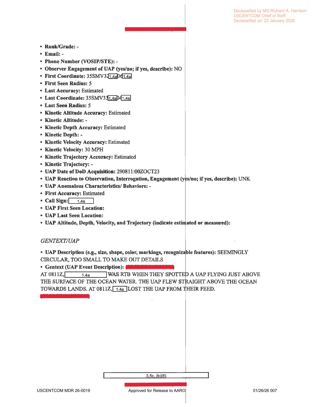
 35SMV coordinate fragments, estimated 30 MPH velocity entry, SEEMINGLY CIRCULAR, TOO SMALL TO MAKE OUT DETAILS description, and source-text statement that the feed was lost at 0811Z.
Investigation reading
This is a seven-page USCENTCOM MISREP-style mission report released in WAR.GOV/PURSUE Release 01. Release metadata pairs the PDF with DOW-UAP-PR35 / DVIDS video 1006082, described by the release as a 24-second infrared clip. The PDF itself is a text/form packet: a rendered-page review of all seven pages found no embedded object photograph, map, radar plot, FMV still, sensor frame, chart, or diagram. The useful evidence in this file is the mission narrative, ISR/UAP form fields, redactions, and custody metadata.
The source-level UAP thread is narrow. The report says that at 0811Z on 29 October 2023, while a redacted platform was returning to base, the reporting party spotted 1X POSS UAP just above the surface of ocean water. Page 7 describes it as SEEMINGLY CIRCULAR, TOO SMALL TO MAKE OUT DETAILS, gives an estimated kinetic velocity of 30 MPH, says it flew straight above the ocean toward land, and says the feed was lost at 0811Z. The UAP form records observer assessment Benign, maneuverability NONE, response to observer actions NONE, physical state Solid, propulsion UNK, signatures NONE, RF frequency/duration UNK, no effects on persons or equipment, and no recovered material. Those are source statements, not an Open Sky finding.
A key quality-control issue is that rough OCR misreads several high-signal fields. Rendered-page review supports page 1 times 1504Z, 1515Z, 1618Z, 2018Z, 0811Z, 0542Z, 1035Z, and 1105Z; page 5 2019Z to 2243Z and 6X VEHICLES; and page 7 lost-feed time 0811Z. The stored OCR has variants such as 2013Z, 0743Z, 2032Z, 2242Z, 4X VEHICLES, and 0812Z; those should be treated as extraction-quality issues until corrected against the rendered pages.
What the file appears to contain
| Page | Public reading |
|---|---|
| 1 | Mission narrative and admin. Rendered text reads: takeoff from LGLR at 1504Z; handover from the LRE at 1515Z; 7-LINED support at 1618Z; arrival on station at 2018Z; FMV/SIGINT collection at a partially redacted 36S YC 40...57... grid fragment; AT 0811Z observed 1X POSS UAP; return-to-base line at 0542Z; handback to the LRE at 1035Z; landing at LGLR at 1105Z; full-motion video exploited by GET; 20:01 mission hours and 09:24 FMV hours. The times imply the UAP line occurred during the return-to-base period after off-station/RTB began. |
| 2 | Administrative MSGID/MSNID/POC/QC/approver fields. It identifies the report type as MISREP, originator 33 SOS, mission type ISR, Air Force service tasking, and redacted personnel/contact fields tied to 56 SOIS, 27 SOW, 609 AOC Det 1, and 609 CAOC. |
| 3 | ACEQUIP/equipment prompts. The aircraft callsign is redacted. Radar, radar software, RWR, MWS, IRCM, ECM, CMD, chaff, flare, towed-decoy, and radar-guided AAM fields are present as form prompts and appear blank on this page. This page should not be read as raw radar, RWR, missile, or electronic-warfare evidence. |
| 4 | Aircraft/equipment and timeline fields. Rendered text reads 2XAGM-114R9E 2XAGM-114R2, target pod AN/DAS-4, additional avionics AH/GMESH, data link LINK 16, one aircraft, takeoff from LGLR at 281504:00ZOCT23, Mode 3/IFF 34055, landing at LGLR at 291105:00ZOCT23, engine shutdown 291115:00ZOCT23, total mission time 20 hours 1 minute, and on-station time 282018:00ZOCT23. The Did not Arrive On Station: On field is unusual and should be checked against the source form rather than over-interpreted. |
| 5 | Off-station and ISR support page. It records time off station 290542:00ZOCT23, total time on station 9 hours 24 minutes, mission type AREC, primary sensor FMV, sensors available G-MESH, planned tasking, data-masked tasking number, a partially redacted 36S YC 40...57... start point, target-development activity, no EEIs observed, and no FMV/image file name listed. The rendered GENTEXT/ISR says that after arrival at the start point at 2018Z, no EEI-related activity was observed; from 2019Z to 2243Z pattern-of-life work was conducted on associated COIs; at 2244Z six vehicles were observed on a parking-garage rooftop with no personnel; and POL continued until RTB at 0542Z. |
| 6 | Effectiveness and UAP form start. Weather is CLEAR WX; the intel gap is marked filled and the effectiveness text is SATISFACTORY. The UAP section records initial contact 290811:00ZOCT23, event type UAP Incident, maneuverability NONE, response to observer actions NONE, redacted asset/tail fields, a partially redacted friendly-aircraft MGRS-style location beginning 35SMV33...05..., observer assessment Benign, blank/dash altitude/trajectory/speed fields for the friendly aircraft, no listed sensor interrogation/returns, no third-party observers, physical state Solid, propulsion UNK, intelligent control NO, signatures NONE, advanced capabilities/materials UNK, RF frequency/duration UNK, no effects on persons, no recovered material, and no effects on equipment. |
| 7 | UAP form continuation and GENTEXT. It records no observer engagement, partial first/last MGRS-style coordinate fragments beginning 35SMV32... and 35SMV33..., five-unit first/last radii, estimated location accuracy, estimated kinetic velocity 30 MPH, DoD acquisition time 290811:00ZOCT23, reaction UNK, no listed anomalous characteristics/behaviors, and the description SEEMINGLY CIRCULAR, TOO SMALL TO MAKE OUT DETAILS. High-resolution rendered text reads: at 0811Z, the redacted platform was RTB when they spotted a UAP flying just above the surface of the ocean water; the UAP flew straight above the ocean toward land; at 0811Z, the platform lost the UAP from their feed. |
Source custody and provenance
- Official/source URL: DOW-UAP-D35, Mission Report, Greece, October 2023
- Open released file: war-gov-dow-uap-d35-mission-report-greece-october-2023-c788c17e
- SHA-256:
b4f4f4ce6dc7687a543905990671f999cd6c5a9e579159bfda501bf6d04f4445 - File size checked:
1,415,369bytes - PDF page count checked:
7 - Release rows:
49for the D35 PDF record and89for the paired PR35 unresolved UAP report/video record. - Release metadata lists incident date
10/29/23and incident locationAegean Seafor the PDF row; the paired PR35 row and title use Greece. The PDF body itself mostly provides redacted MGRS-style coordinate fragments rather than a public place name. - Direct automated
HEADaccess to the official media URL returned403, but a byte-range request returned206withContent-Range: bytes 0-0/1415369. This draft relies on the verified release-file copy and matching SHA-256 while preserving the official URL as the canonical source.
Graph context
The evidence graph has an exact Document record for the D35 PDF asset and a linked Release 01 record for official CSV row 49. The current semantic layer reports 113 extracted claims, 81 entity mentions, 9 sensor-event records, and no table rows for this asset. Treat those graph facts as navigation aids for review, not as adjudicated conclusions.
The graph correctly surfaces FMV/SIGINT mission context from page 1 and FMV/G-MESH ISR context from page 5. Some apparent radar, RWR, IR, weapons, or platform hits are caused by standard MISREP form prompts and aircraft-equipment fields. Page 3 lists radar/RWR/MWS/IRCM/ECM prompts without populated returns; page 4 lists target pod, weapons, avionics, and datalink fields; page 6 leaves observation-interrogation/sensor-return blank and records UAP Signatures: NONE and RF Frequency: UNK. The PDF does not include raw radar data, a sensor image, or an FMV frame.
The graph also links this PDF to DOW-UAP-PR35 / DVIDS video 1006082, which the release description says contains the infrared clip associated with this report. That video is a separate source item and needs direct video review before comparing frame timing, contrast behavior, platform motion, or lost-feed behavior to the PDF wording. Candidate crosslinks and neighboring Release 01 records should remain review leads only; shared terms, release-batch associations, or related-row context do not establish corroboration.
Leads to check
- Review the paired PR35 / DVIDS
1006082video directly and compare the release video description (00:02field-of-view narrowing,00:03-00:19tracking,00:20background transition from water toward land) against the MISREP's0811Z,30 MPH, near-ocean-surface, and lost-feed wording. - Clean up OCR-derived structured fields against the rendered page review before any downstream graph update: page 1
2018Zarrival/on-station and0542ZRTB; page 52019Z to 2243Zand6X VEHICLES; page 7 lost-feed time0811Zrather than the rough OCR variant0812Z. - Reconcile location metadata: release metadata says
Aegean Sea/ Greece; the PDF body exposes partial36S YCtasking coordinates and partial35SMVUAP/friendly-aircraft coordinate fragments. Those fragments should be handled as redacted location evidence, not enough for public geolocation. - Check prosaic correlation lanes before escalation: sea-surface traffic, wakes, birds, wind/wave contrast, sensor stabilization, contrast/track behavior, platform parallax during RTB, local weather/visibility, and whether the water-to-land background transition explains the loss of feed.
- Preserve source-level limits around
Benign,NONEmaneuverability, blank observation-interrogation returns,UAP Signatures: NONE,RF Frequency: UNK, no effects, and no recovered material. Those entries narrow what the PDF supports.
Lead check notes
- Checked — source-text/OCR cleanup anchors: The derived page renders support the high-signal correction set: page 1
2018Zarrival/on-station and0542Zreturn-to-base; page 52019Z to 2243Zand6X VEHICLES; and page 70811Zlost-feed time,30 MPH, andSEEMINGLY CIRCULAR, TOO SMALL TO MAKE OUT DETAILS. Stored OCR variants should be treated as extraction-quality issues, not alternate source values. - Partial — PR35 video pairing: The paired PR35 / DVIDS
1006082release-file copy is present and hash-verified, and MP4 metadata supports an approximately 24.5-second clip. The release description ties it to D35 and describes field-of-view narrowing at00:02, tracking from00:03-00:19, and the water-to-land background transition at00:20; direct frame-level comparison against the MISREP wording remains open. - Needs external source — sea-surface prosaic checks: The PDF and release description identify a near-ocean-surface report but do not provide unredacted geometry, platform track, sensor settings, maritime/air traffic, weather observations beyond
CLEAR WX, astronomy, satellite, launch, or reentry data. Those checks remain open until the video and external context are reviewed together. - Partial — location reconciliation: Release metadata says Aegean Sea / Greece, while the PDF body preserves only redacted MGRS-style fragments, including
36S YCon the ISR tasking page and35SMVon the UAP/friendly-aircraft fields. The current sources do not expose enough unredacted location detail for exact public geolocation. - Checked — source-level limits: Page 6 and page 7 preserve
Observer Assessment of UAP: Benign,NONEmaneuverability, a blank observation-interrogation/sensor-return field,UAP Signatures: NONE,RF Frequency: UNK, no effects on people/equipment, no recovered material, and no observer engagement. These are report fields, not an object identification or event resolution.
Deep investigation — graph + web reconnaissance
Source reread
The source file remains a seven-page MISREP PDF, not an imagery packet. The verified release-file copy is 1,415,369 bytes with SHA-256 b4f4f4ce6dc7687a543905990671f999cd6c5a9e579159bfda501bf6d04f4445; PDF metadata reports seven letter-size pages, an AcroForm, copy-disabled encryption, and title/subject DOW-UAP-D35, Mission Report, Greece, October 2023. Rendered-page review is more reliable than rough OCR on several high-signal fields.
Pages 6–7 are the core UAP report. They state initial contact 290811:00ZOCT23, observer assessment Benign, maneuverability NONE, response to observer actions NONE, physical state Solid, propulsion UNK, intelligent control NO, signatures NONE, RF frequency/duration UNK, no effects on persons or equipment, no recovered material, and no observer engagement. Page 7 gives estimated velocity 30 MPH and the descriptor SEEMINGLY CIRCULAR, TOO SMALL TO MAKE OUT DETAILS. The rendered page supports the event-description wording that the platform was RTB at 0811Z, spotted a UAP just above the ocean surface flying straight toward land, and lost the UAP from the feed at 0811Z; OCR can misread this last time as 0812Z.
Page 5 is important context for the prosaic lane: the mission was using FMV with G-MESH, records CLEAR WX on page 6, and the rendered ISR narrative supports 2019Z–2243Z, 6X VEHICLES, no EEI-related activity, and RTB at 0542Z. The PDF still does not provide an unredacted platform identity, complete coordinates, range, sensor field of view, altitude, sea-state data, independent radar return, or a still/video frame.
Read-only graph connections
The evidence graph has an exact Document asset for this PDF and an exact Release 01 manifest record for row 49. The asset node carries related_csv_row_numbers [49, 89], frontier_ocr_page_count 7, frontier_ocr_chunk_count 7, and official-primary provenance. Direct relationship counts show 11 text chunks, 113 machine-extracted claims, and 9 machine-extracted sensor-event records. Those semantic records remain machine_extracted_needs_human_review / not_a_finding; they are navigation aids, not conclusions.
The graph correctly preserves the paired PR35 / DVIDS 1006082 context: an exact VideoEvidence node for DOW-UAP-PR35, Unresolved UAP Report, Greece, October 2023, a 2,406,930-byte MP4 hash 670077e60bca959cde784ae1595688d645397804d811a7f5a85912c60045d471, and the official description of a 24-second infrared-sensor clip. A visual review of the PR35 contact sheets supports the publisher-level water-to-land background transition and an intermittent small contrast spot, but the spot is not resolved into structure, range, size, speed, altitude, or independent motion from the public frames.
Several graph sensor-event records are extraction artifacts or form-context records: FMV/G-MESH and AN/DAS-4 are meaningful source fields, while radar/RWR/IR-related hits on the equipment pages are mostly blank prompts, weapons/equipment labels, or deterministic-regex noise rather than reported sensor returns. Exact-hash/URL checks also surface row-number/title cleanup leads around rows 52 and 92 carrying this D35 body hash under other current-row titles; treat those as Release 01 metadata-audit issues, not separate corroborating events.
External provenance and official-source reconnaissance
The canonical WAR.GOV/PURSUE PDF, CSV, and landing page URLs are preserved as the official source trail. Direct official WAR.GOV fetches during this check returned 403 from the current environment, so the public page relies on the already verified Open Sky release-file copy plus the recorded official URL, size, and hash rather than a fresh full download.
The paired official DVIDS page for 1006082 was reachable. Its page title is DOW-UAP-PR35, Unresolved UAP Report, Greece, October 2023; the page metadata shows DVIDS video ID 1006082, VIRIN 231002-D-D0360-7307, date taken 10.01.2023, date posted 05.08.2026 07:48, location GR, category B-Roll, and the same publisher description used in the Release 01 graph: 00:02 field-of-view narrowing, 00:03–00:19 tracking of an area of contrast over the ocean background, and 00:20 water-to-land transition where the contrast becomes indistinguishable. The DVIDS date-taken/VIRIN metadata and the D35 report date 10/29/23 should remain a provenance-reconciliation lead, not an alternate event claim.
Prosaic checks and blocked correlations
The immediate prosaic lanes are ordinary scene and sensor explanations: sea-surface traffic or wakes, birds, wave/surf/coastline contrast, cloud or glint highlights, sensor gain/bloom, compression/downsampling, frame-edge or mask effects, stabilization, field-of-view change, and platform parallax during RTB. The PR35 contact sheets make the water-to-land transition visible, but they do not separate target motion from sensor/platform/background motion.
Graph checks did not surface matching LaunchEvent or NASA/JPL fireball-style AstronomyEvent records for 2023-10-28 or 2023-10-29. That negative graph result is narrow: without unredacted coordinates, exact line of sight, platform track, sensor settings, and time mapping from PR35 video seconds to the MISREP time fields, it is not a full satellite, aircraft, maritime, weather, astronomy, or launch clearance. The only weather statement available in the source is the report-field CLEAR WX.
Limits and follow-up leads
This deep check does not identify the object, resolve the event, or assert a hypothesis. The strongest public evidence remains the paired source set: D35 supplies the redacted form/timing narrative, and PR35 supplies the short official video/external DVIDS custody record. Follow-up work should reconcile D35/PR35 row numbers and DVIDS date metadata, review the continuous PR35 MP4 against the D35 0811Z/30 MPH/near-ocean-surface fields, and pursue external checks only if unredacted geometry, platform track, sensor mode/FOV, weather/sea state, maritime traffic, air traffic, satellite, launch, or reentry data becomes available.
Limits
This draft does not resolve the event, identify the object, or assert a hypothesis. It records what the released PDF appears to say after full page-level review.
The PDF is a redacted text/form packet, not a visual-evidence packet. It does not show the object, a map, a radar display, an FMV frame, or an instrument plot. Several high-signal fields are redacted or blank, including full coordinates, platform identity, altitude/depth, trajectory field, sensor-return explanation, and the object image/video itself.
The paired PR35 video is linked and hash-verified in the evidence media section, but detailed frame-level review is not complete. Until that video is inspected against the MISREP timing and external context, the PDF should be treated as mission-report/form evidence that points to a separate infrared-video source, not as a complete visual record.
OCR is useful for discovery but unreliable on this document. The rendered page images correct multiple OCR-derived fields, so any structured cleanup should cite the page render or official PDF text rather than rough OCR alone.
Sources
- Department of War / WAR.GOV PURSUE Release 01:
DOW-UAP-D35, Mission Report, Greece, October 2023, official URL above. - Open Sky verified release-file copy for this slug, SHA-256
b4f4f4ce6dc7687a543905990671f999cd6c5a9e579159bfda501bf6d04f4445. - Release 01 CSV metadata rows
49and89, linking this PDF to DOW-UAP-PR35 / DVIDS video1006082. - Paired video source listed by release metadata: DOW-UAP-PR35 / DVIDS 1006082, with Open Sky release-file copy war-gov-dow-uap-pr35-unresolved-uap-report-greece-october-2023-1006082, SHA-256
670077e60bca959cde784ae1595688d645397804d811a7f5a85912c60045d471.