DOW-UAP-D63, Mission Report, Strait of Hormuz, October 2020
Evidence media
- Official PDF: Open Sky release-file copy
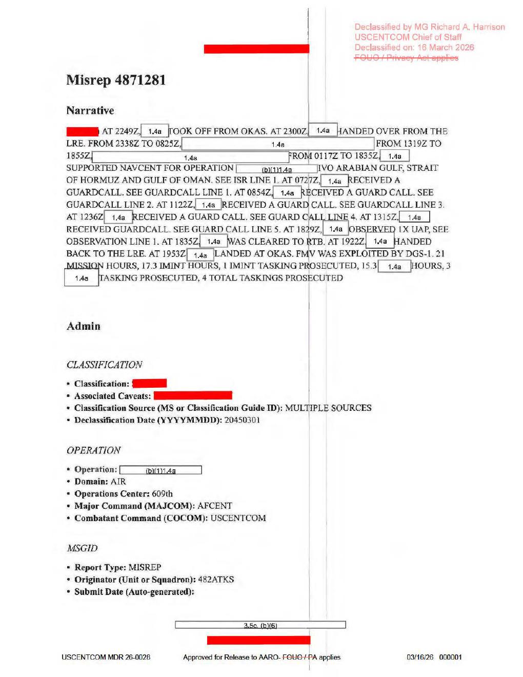
Derived page render from the official PDF, page 1. The source-document narrative supports AT 1832Z ... OBSERVED 1X UAP, SEE OBSERVATION LINE 1, followed by RTB clearance at 1835Z, LRE hand-back at 1922Z, and landing at OKAS at 1953Z. This is mission-report text, not object imagery or a released sensor frame.
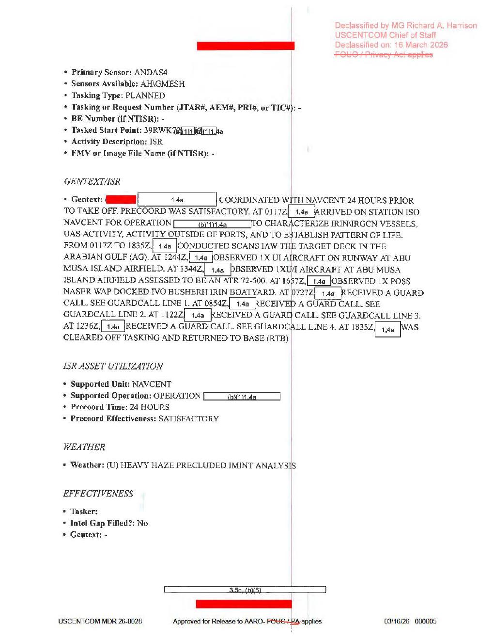
Derived page render from the official PDF, page 5. The page lists primary sensor ANDAS4, sensors available AHGMESH, activity description ISR, FMV or Image File Name (if NTISR): -, NAVCENT tasking context, and the weather note (U) HEAVY HAZE PRECLUDED IMINT ANALYSIS; it contains no object image.
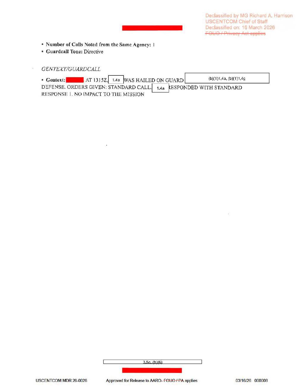
Derived page render from the official PDF, page 8. The page completes the 1315Z guard-call entry with STANDARD RESPONSE 1 and NO IMPACT TO THE MISSION; it does not visibly contain the referenced Observation Line 1 or any object imagery.
Investigation reading
This is an eight-page USCENTCOM MISREP released in WAR.GOV/PURSUE Release 01 and indexed as CSV row 69. The release record identifies the incident date as 10/1/20 and the incident location as the Strait of Hormuz. The Open Sky release-file copy is a scanned, encrypted-copy PDF with one page image per PDF page; the selectable text layer is effectively unavailable, so this draft relies on the verified PDF hash, the stored OCR, and rendered-page visual checks.
The page is a mission-report form, not an imagery packet. Rendered review of all eight pages showed text fields, redactions, declassification stamps, and form sections only. No embedded object photograph, map, radar plot, EO/IR frame, FMV still, or cockpit/sensor screenshot was visible. The high-signal UAP language appears in the page-1 narrative: at 1832Z, a redacted actor “observed 1X UAP” and the narrative points to “Observation Line 1.” The released pages reviewed here do not visibly include that detailed observation line; pages 6-8 are guard-call entries, and page 8 only completes Guardcall Line 5.
What the file appears to contain
| Page | Source-reading summary |
|---|---|
| 1 | MISREP 4871281 narrative and admin fields. The narrative says the aircraft took off from OKAS at 2249Z, handed over from the LRE at 2300Z, supported NAVCENT in the Arabian Gulf / Strait of Hormuz / Gulf of Oman area, received guard calls at 0727Z, 0854Z, 1122Z, 1236Z, and 1315Z, observed 1X UAP at 1832Z, was cleared to RTB at 1835Z, handed back to the LRE at 1922Z, and landed at OKAS at 1953Z. It also says FMV was exploited by DGS-1, with 21 mission hours and 17.3 IMINT hours. Originator unit is visible as 482ATKS. |
| 2 | Administrative POC/QC/approver fields. Names, phones, and emails are redacted; visible unit/role context includes Air Force, 609 CAOC, and 609 AOC ISRD Unit Support. |
| 3 | ACEQUIP/equipment inventory. Most radar, RWR, MWS, IRCM, ECM, chaff/flare, decoy, and weapons fields are blank, dashed, or redacted. The target-pod/primary-sensor string appears in the source/OCR layers as AN/DAS4 / ANDAS4, with additional avionics text resembling AH-BS_WARIO / AH-8S, WARIO. These are form equipment fields, not released raw radar or IR evidence. |
| 4 | Timeline fields: last landing at OKAS, takeoff at 012249:00ZOCT20, on-station around 012300:00ZOCT20, ISR time on station around 020117:00ZOCT20, and ISR time off station 021835:00ZOCT20. Mission type is AREC. |
| 5 | ISR/GENTEXT page. It lists primary sensor ANDAS4, sensors available AHGMESH, tasking type PLANNED, activity description ISR, and no FMV/image filename. The gentext says NAVCENT coordination occurred 24 hours before takeoff, the asset arrived on station at 0117Z, and the task was to characterize IRIN/IRGCN vessels, UAS activity, activity outside ports, and pattern of life. It records Abu Musa Island Airfield aircraft observations at 1244Z and 1344Z, a possible NASER WAP docked near Bushehr IRIN Boatyard at 1657Z, and weather: (U) HEAVY HAZE PRECLUDED IMINT ANALYSIS. |
| 6 | Guardcall entries for 020727:00ZOCT20 and 020854:00ZOCT20. Both show the aircraft was hailed on guard, orders were a standard call, the response was Standard Response 1, and there was no mission impact. Headings/altitudes visible: 020 M / FL180 and 145 M / FL180. |
| 7 | Guardcall entries for 021122:00ZOCT20, 021236:00ZOCT20, and the start of 021315:00ZOCT20. Visible headings/altitudes are 264 M / FL160, 128 M / FL160, and 227 M / FL160. Tone is Directive for the first, Professional for the second, and the fifth entry continues onto page 8. |
| 8 | Completion of Guardcall Line 5. It states one call from the same agency, tone Directive, and the same standard-call / Standard Response 1 / no-impact language at 1315Z. No UAP observation form line is visible on this page. |
The most important public reading is therefore narrow: this file documents a redacted NAVCENT-support mission in which the narrative reports one UAP observation at 1832Z, but the released PDF does not show the detailed Observation Line 1 fields that the narrative references. The surrounding pages mainly provide mission context, equipment/form context, ISR tasking, weather limitations, and guard-call activity.
Source custody and provenance
- Official title:
DOW-UAP-D63, Mission Report, Strait of Hormuz, October 2020. - Official URL: https://www.war.gov/medialink/ufo/release_1/dow-uap-d63-mission-report-strait-of-hormuz-october-2020.pdf
- Open Sky release-file copy: /api/explore/war-gov/release-file/war-gov-dow-uap-d63-mission-report-strait-of-hormuz-october-2020-8e727ae3
- SHA-256:
ad3b37eb9fbd20e6dc75152e486514e58ff8a1edde3d32615887ea0d19727884 - File size:
3,311,583bytes. - PDF page count:
8. - OCR coverage:
8 / 8pages with text. - Official release metadata: CSV row
69, incident date10/1/20, incident locationStrait of Hormuz, agencyDepartment of War.
Provenance issues to preserve for review: the PDF metadata title/subject reads DoW-UAP-D39 even though the official URL, release row, and visible/public title identify this file as DOW-UAP-D63. The rendered page review also corrects several OCR rough edges: the UAP line is visually 1832Z ... OBSERVED 1X UAP, not the stored OCR’s 1629Z ... UAR; the first guardcall is 0727Z, not 0272Z; the fourth guardcall is 1236Z, not 1256Z or 1206Z; page 5 reads Abu Musa observations at 1244Z and 1344Z, and the Bushehr line at 1657Z.
Graph context
The evidence graph currently indexes this asset as an official WAR.GOV/PURSUE PDF asset and links it to the corresponding Release 01 record. It carries 148 extracted claim records, 130 entity mentions, 17 sensor-event records, and 11 text chunks around this document family. Use those graph records as navigation aids, not conclusions.
The graph’s sensor-event count needs careful reading. Several hits are triggered by form labels or equipment inventory fields such as radar, RWR, MWS, IRCM, ECM, aircraft, target-pod, avionics, and FMV language. In the source pages reviewed here, most of those fields are blank, dashed, redacted, or general platform/equipment context. The source-backed observation language is narrower: page 1 says a UAP was observed at 1832Z, page 5 says FMV/IMINT-related mission support occurred and heavy haze precluded IMINT analysis, and pages 6-8 document radio guard calls with no mission impact. The PDF itself does not release raw radar returns, a sensor frame, an object photo, or the detailed Observation Line 1 form.
Related graph navigation points include other Release 01 Arabian Gulf / Strait of Hormuz mission reports such as DOW-UAP-D60 and DOW-UAP-D7. Any candidate crosslink based on broad regional phrases like “Arabian Gulf” or “Strait of Hormuz” should stay in human-review status until a person compares the source text and provenance directly.
Leads to check
- Locate whether “Observation Line 1” exists in another release object, an omitted page, a redacted attachment, or a paired record. The visible PDF points to it, but the eight released pages do not show the structured UAP line.
- Compare rendered-page readings against stored OCR for high-signal fields:
1832Z,1X UAP,0727Z,1236Z,1244Z,1344Z,ATR 72-500,1657Z, andNASER WAP. - Normalize the sensor/platform strings only after human review. The same packet surfaces
AN/DAS4,ANDAS4,AHGMESH, and avionics strings with OCR/rendered-text variation. - Treat the page-5 weather statement as an important collection limit: heavy haze precluded IMINT analysis.
- Preserve the metadata mismatch (
DoW-UAP-D39inside the PDF metadata vs D63 release identity) as a custody-cleanup issue, not a reason to relabel the page without official-source comparison.
Lead check notes
- Partial — Observation Line 1: The Release 01 record and the current linked release-file copy expose the eight-page D63 PDF only, and the release record has no D63 DVIDS/video URL. A current linked-corpus search for
OBSERVATION LINE 1finds D63 and a separate D61 mission report; in D63 the phrase points to a missing detailed line rather than to a visible page in this PDF. The omitted, redacted, or paired observation source remains missing. - Checked — rendered-page corrections: High-resolution page renders support
1832Z,1X UAP, guard-call times0727Z,0854Z,1122Z,1236Z,1315Z, RTB at1835Z, LRE hand-back at1922Z, landing at1953Z, Abu Musa observation times1244Zand1344Z, and the Bushehr1657Zline. Stored OCR variants such as1629Z,0272Z,1256Z,1206Z, and9854Zshould be treated as extraction-quality issues. - Partial — sensor/platform strings: Page renders support
AN/DAS4/ANDAS4andAHGMESH, but these are equipment/form fields. The PDF listsFMV or Image File Name (if NTISR): -and does not release raw FMV, radar returns, or the referenced observation-line sensor product; normalization needs the underlying report or sensor package. - Checked — weather and collection limit: Page 5 states
(U) HEAVY HAZE PRECLUDED IMINT ANALYSIS. Keep that as a source collection limit, not as an explanation of the reported UAP. - Needs external source — D63/D39 metadata mismatch: The visible title, official URL, and Release 01 record identify this file as D63; embedded PDF metadata says
DoW-UAP-D39. Resolving that mismatch requires official manifest history or corrected official metadata.
Limits
This draft does not identify the object, explain the observation, or assert a finding. The released source is heavily redacted, provides no object imagery or raw instrument display, and does not visibly include the detailed observation-line form that the narrative references. The visual review can establish what is present in the released PDF and where OCR appears wrong, but it cannot recover redacted fields or absent attachments.
Sources
- WAR.GOV/PURSUE Release 01 PDF: DOW-UAP-D63, Mission Report, Strait of Hormuz, October 2020
- Open Sky release-file copy: /api/explore/war-gov/release-file/war-gov-dow-uap-d63-mission-report-strait-of-hormuz-october-2020-8e727ae3
- WAR.GOV Release 01 record page anchor: Release 01 record 69
Deep investigation — graph + web reconnaissance
Source reread and visual audit
The source file re-check confirms an eight-page, copy-restricted scanned PDF: 3,311,583 bytes, SHA-256 ad3b37eb9fbd20e6dc75152e486514e58ff8a1edde3d32615887ea0d19727884, one page image per PDF page, and embedded PDF metadata that still says DoW-UAP-D39 even though the official URL, visible title, and Release 01 row identify the file as D63. The strongest page-image correction is the page-1 narrative: it reads AT 1832Z, [redacted] OBSERVED 1X UAP, SEE OBSERVATION LINE 1, not the stored OCR's 1629Z ... UAR. That observation is followed almost immediately by RTB clearance at 1835Z, LRE hand-back at 1922Z, and landing at OKAS at 1953Z.
Page 5 is mission-context evidence rather than object imagery. It lists primary sensor ANDAS4, available sensor text visually consistent with AHGMESH, Activity Description: ISR, and FMV or Image File Name (if NTISR): -. The same page says the NAVCENT tasking was to characterize IRIN/IRGCN vessels, UAS activity, activity outside ports, and pattern of life; it also records Abu Musa Island Airfield observations at 1244Z and 1344Z, a Bushehr-area possible NASER/NASR warship line at 1657Z, and the collection limit (U) HEAVY HAZE PRECLUDED IMINT ANALYSIS. Page 8 contains only the Guardcall Line 5 continuation and does not expose the referenced Observation Line 1, object imagery, a map, a radar plot, an EO/IR frame, or a cockpit/sensor screenshot.
Graph connections and extraction limits
Read-only graph checks match the exact official PDF asset by URL and hash and link it to the current Release 01 record 69. The semantic layer for the asset currently contains 148 machine-extracted claims, 130 entity mentions, 17 sensor-event nodes, and 11 text chunks. Those counts are useful for navigation, but the sensor-event nodes are still machine_extracted_needs_human_review / not_a_finding: several are triggered by equipment labels, aircraft context, FMV/IMINT form language, or Abu Musa aircraft observations, not by a released object track or a positive radar/IR return.
The graph also preserves provenance drift that should not be promoted into an analytical claim. The current D63 record is row 69, while a stale relationship points to DOW-UAP-D7 row 72 with current_in_official_csv: false; a weak row-level candidate crosslink to a Black Vault CIA document scored 0.5 and its snippet is actually D60-family text, so it is audit-only noise rather than D63 corroboration. The stable identity for this page is therefore the D63 title, official PDF URL, verified hash, and row 69 release record.
External provenance and web reconnaissance
Official-source probing did not find a separate public attachment for Observation Line 1. Direct automated checks of the WAR.GOV PDF, the WAR.GOV Release 01 landing page, and the official CSV returned 403 from this environment, which is consistent with prior Release 01 access-control behavior and not a reason to distrust the already verified release-file copy. Internet Archive availability/CDX checks were rate-limited or timed out during this run. DVIDS search returned an empty 202 response, and the release record/graph do not carry a D63 DVIDS pairing; Defense.gov and AARO search probes were also blocked by 403.
Prosaic checks and open questions
The first prosaic lanes are source-limited, not resolved: heavy haze is explicitly recorded as precluding IMINT analysis; the mission was already scanning a NAVCENT target deck for vessels, UAS activity, port activity, and pattern-of-life context; and the pages preserve multiple guard calls with no mission impact. Exact graph date probes found no modeled LaunchEvent on 2020-10-01 or 2020-10-02; the nearest launch event in the graph window is Starlink-12 on 2020-10-06, which is not an immediate temporal match. The graph has no modeled astronomy or weather observation record for the exact D63 dates, and the released PDF redacts the observation geometry, platform details, sensor mode, look direction, and location fields needed for a meaningful satellite, aircraft, celestial, or weather correlation.
Follow-up should stay narrow: locate the missing Observation Line 1 or any underlying FMV/IMINT attachment; reconcile the DoW-UAP-D39 embedded metadata and stale row/crosslink artifacts; and compare any future unredacted observation line against the page-verified 1832Z UAP line before creating findings or hypotheses.